пятница, 23 ноября 2018 г.

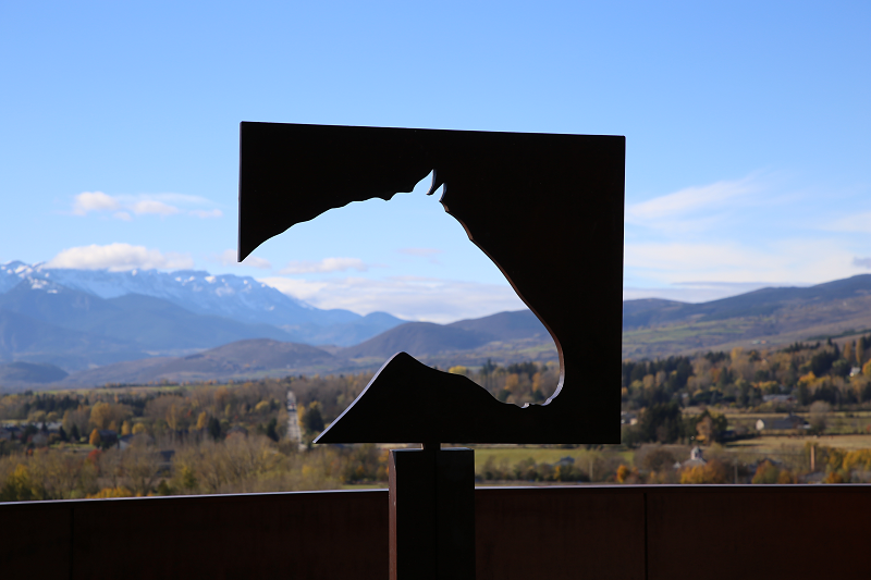
The Catalan city of Puigcerda – famous for its horse fairs and skiing

The Catalan city of Puigcerda – famous for its horse fairs and skiing
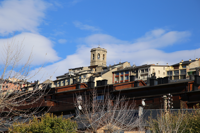
Puigcerda (Catalan Puigcerdà) is the capital of the Catalan comarca of Cerdanya, in the province of Girona, Catalonia, northern Spain, near the Segre River and on the border with France (it borders directly the French city of Bourg-Madame).
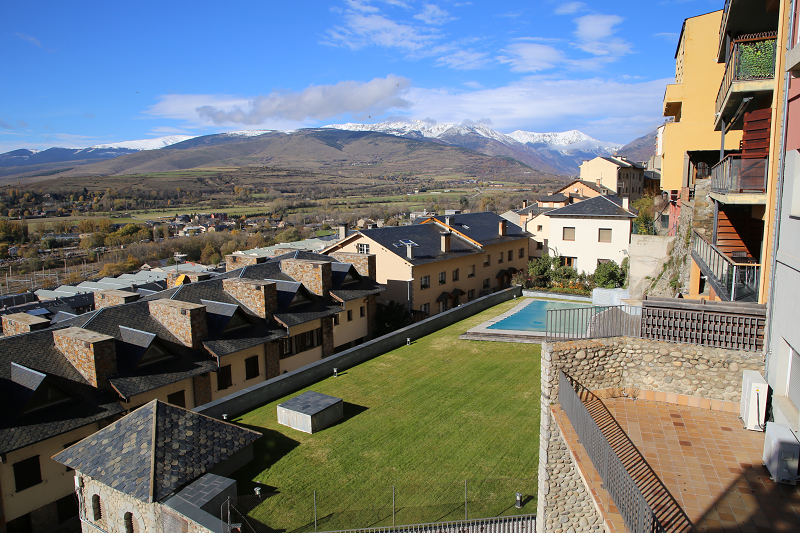
Puigcerda is a city with a population of 9,100 people. Puigcerdà is located on the banks of the river Segre, at an altitude of 1215 metres. Translated from the Catalan “puig” means “hill”. From the hill you can see the beautiful Cerdanya valley – the largest in the Pyrenees. On its territory there is a nature park Cadí-Moixeró, where you can come across rare species of animals and birds.
The city has its own media stations: two radio stations (the state-run “Radio Puigcerda“ and private “Radio Pyrenees”), a TV channel, a newspaper, and a free monthly magazine.
History of Puigcerda
The city was founded in 1177 by the king of Spain, Alfonso. The city has been famous for its fairs since 1182, in particular, its horse fairs which are famous throughout Spain.
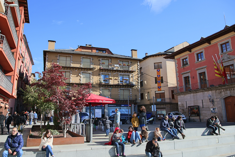
It is worth recalling that since the days of Napoleon in France, the division of territories was into departments in France, and in Spain – in the province. So, from 1813 Puigcerdà was one of the four provincial capitals of Catalonia (along with Barcelona, Girona and Lleida).
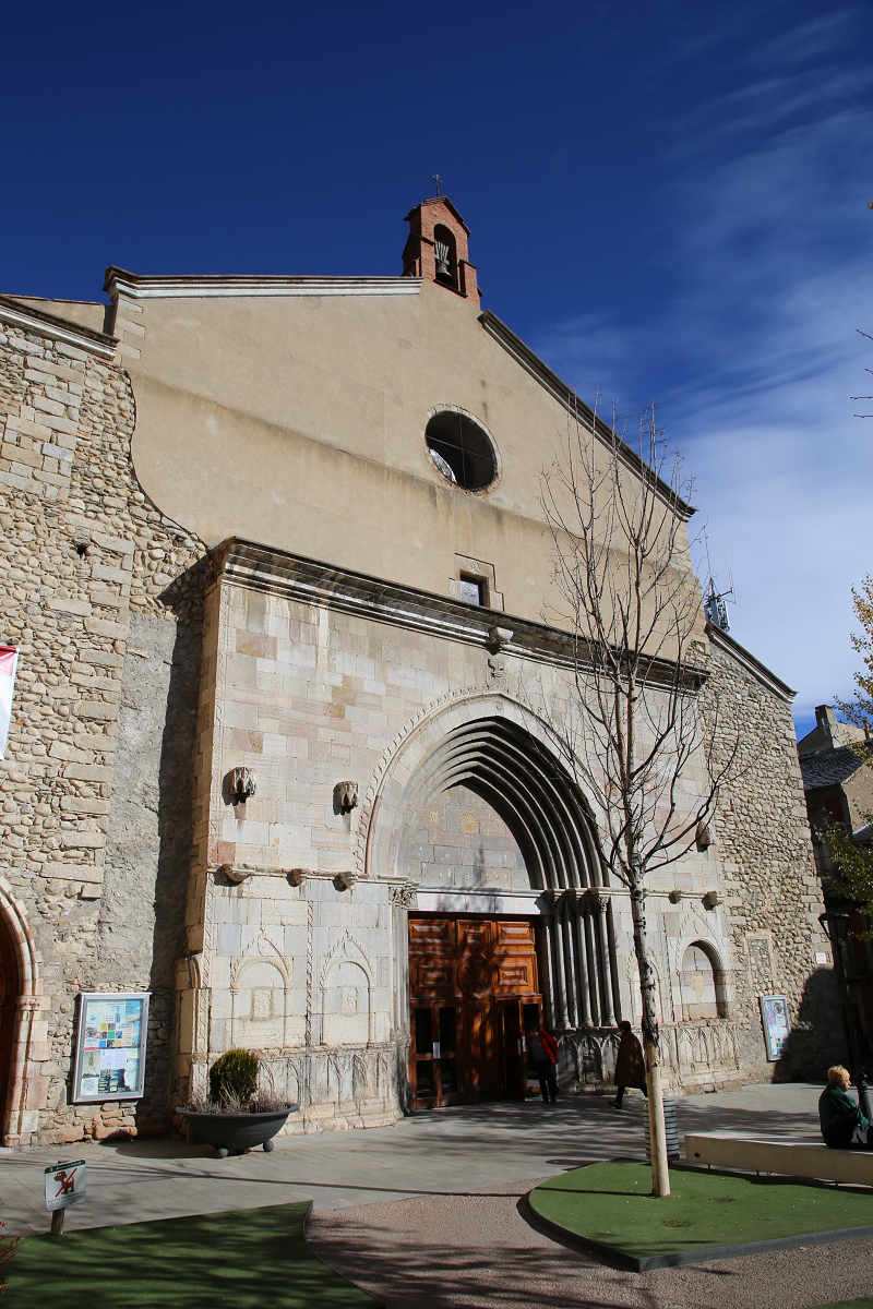
In 1833, Spain was divided into two warring parties. One supported don Carlos and his heirs, the Carlist party. The other stood on the side of Isabella and her mother, Mary Christina, she was called the party of Christinos. Political strife has triggered three wars, called the Carlist wars.
These wars had a significant impact on the development of Puigcerdà. The city ceased to be the capital (Tarragona became the fourth capital), but this did not prevent it from developing dynamically – mainly due to agriculture, and later, from the beginning of the XX century, due to tourism.
Tourism and what to do
Tourism in Puigcerdà forms the main income of the budget, which currently stands at 13.5 million euros.
Lovers of active leisure and tourism in the mountains are main tourists. After the Spanish Civil war (1936-1939) the first ski resorts appeared here. The closest are La Molina and Masella, there are also ski resorts from France-Pyrénées 2000, Les Angles, etc.
A distinctive feature of the ski resorts of the Cerdanya plateau (Baixa Cerdanya – Spain, Alta Cerdanya – France) is the meteorological conditions. There is often good sunny weather and a lot of snow. It is also important that the ski slopes are on the sunny side of the Pyrenees. Here you can engage in all winter sports: Alpine and cross-country skiing (in the mountains), hockey, curling, figure skating (in a sports complex located in the city, which also has a large stadium, climatic pool, football pitch and tennis court).
The sports complex belongs to the city. The price for a subscription and a single visit is the cheapest in Catalonia.
In summer, mountain sports are also available in the region (mountaineering, climbing, hiking of different levels of difficulty, mountain and road biking).
There are also three Golf clubs near the town.

Font-Romeu

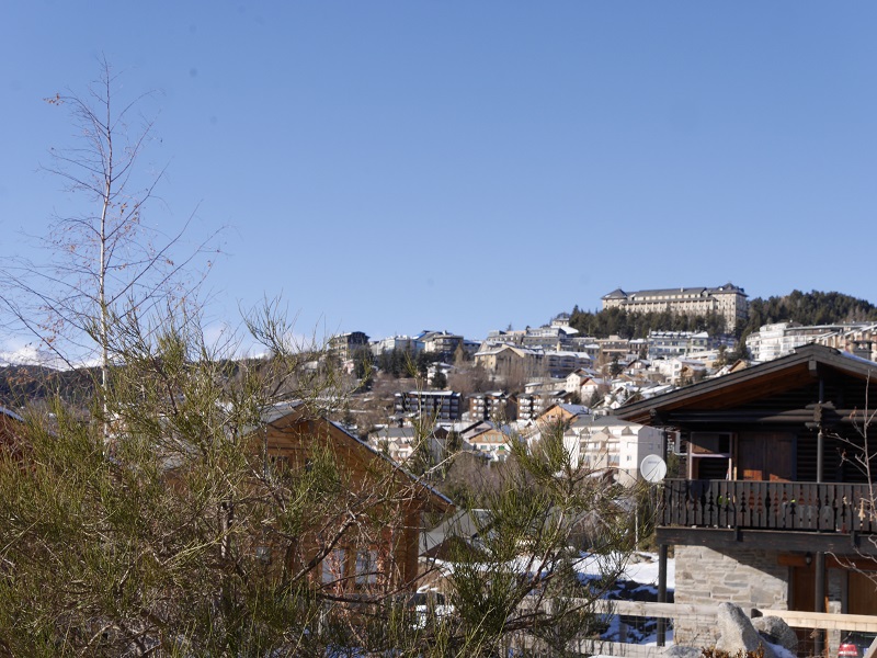
Font-Romeu is located in the Languedoc-Roussillon region of the Eastern Pyrenees (Pyrénées-Orientales) on the Cerdagne plateau, 40 km from Andorra, 87 km from Perpignan (France) and 170 km from Barcelona (Spain, Catalonia). The city is “the heart of the Catalan Pyrenees” with panoramic views, clean air, and bright light. It is located at an altitude of 1800 m above sea level.
The city has about 6,500 inhabitants, with about 2,050 of those being permanent residents.
Font-Romeu is well-known for its high reputation in the world of sports and tourism since it was here in the early 20 s and was one of the first ski resorts in France.
Font Romeu is known as “the land of champions”. The city is famous for the fact that outstanding athletes lived and trained here: Martin Fourcade, a French biathlete who won four Olympic medals (two gold and two silver), 10 world champion titles, 10 crystal globes and 63 individual victories; Kilian Jornet, who is known as a “heaven rider”, a professional mountaineer and athlete, a long distance runner who made history thanks to the fastest ascent and descent of the Matterhorn, Mont Blanc, Denali, and Everest; the famous French swimmer Camille Lacourt, French athlete Colette Besson.
In 1920-1930, Font-Romeu was called the “Winter Sports Palace”, where the world elite loved to come, as it was here that one of the first and most prestigious ski resorts in France appeared. At present, it has 103 km of cross-country skiing tracks (22 runs: 7 “green”, 10 “blue” and 5 “red”), 41 downhill ski slopes (15 “green”, 10 “blue “, 7” red “and 9” black “). It is about 50 km in total. The slopes are maintained by 500 snow cannons, and the resort has one snow park and four ski schools. The resort also has three separate slopes for slalom skiers and a stadium for biathlon. The resort also provides the opportunity to go night skiing – both for amateurs and for competitors with the participation of, as a rule, the Northern European countries.
By looking at the number of ski passes that were sold, we can see, as I said, during last year’s 2016-2017 season almost 700 thousand tourists visited. In general, in winter and summer, the city recorded up to 1 million people who spent at least one night here.
The Town Hall of Font-Romeu is one of the oldest buildings that has recently been completely renovated. Mayor of the city – a former journalist, politician Jean-Louis Demelin.

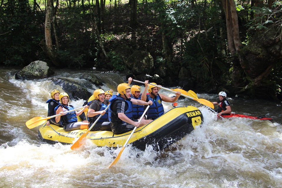
Cities of Catalonia: “Good luck city” as mark of the best European rafting city Sort (Lleida Province)

Cities of Catalonia: “Good luck city” as mark of the best European rafting city Sort (Lleida Province)
Sort is the capital of the provinces Pallars Sobirà, Lleida, Catalonia, Spain. The city is located at an altitude of 692 m above sea level, near the Noguera Pallaresa River, a tributary of the Segre River.
Population: 2.113 (in 2005). Population density: 20.4 / km²
Area: 105.13 km²
The name “Sort” in Catalan means “good luck”. The lottery ticket shop “La Bruixa d’Or” (“Golden Witch”) is the most famous in Catalonia. They say that this shop sells a lot of winning tickets – according to statistics, those who buy tickets from this shop are more likely to win.
The administrative division of Sort includes the traditional district of Sort, as well as the settlements of Llessui and Enviny that were joined in 1970. In 1976, Altron was also attached to the municipality. The territory of the municipality extends along the shores of the Sort, Barran de Montardit valley (Mall del Barranc de Montardi), Barranc de Santa Anna valley (vall del Barranc de Santa Anna) and almost all of the Val d’Asua valley (Vall d’Àssua).
In the north, the land is bordered by the municipality of Espot, in the north-east by Rialp, in the south by Soriguera, and in the west by Baix Pallars and Torre de Capdella.
Architectural sights and what to see
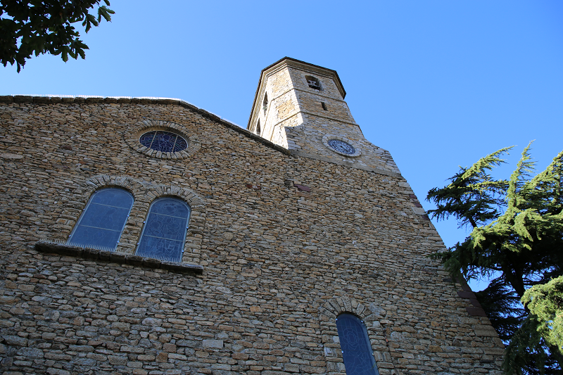
Sant Feliu de Sort is the parish church of the city, in the old municipal district, the Pallars district of Sobir. It is located in the city center, in the Plaza Mayor, opposite the C13 national highway. This monument of Romanesque architecture belongs to the objects of cultural significance and is protected by the state.
The church has three naves and a rectangular “back” facing the west. Tts facade is located at the foot of the nave. In the north-eastern part of the tower stands a powerful bell tower.
Sant Esteve de Castellviny – a parish church, is also included on the list of Spain’s architectural heritage sights. The church was built in a strictly Romanesque style. It is located in the suburbs of Sort.
The ancient fortress of the Counts of Pallars was presumably built in the 11th century. In the Middle Ages, the fortress served as a defense mechanism. In the era of civil wars in Spain, there were prisons in the citadel. Only in 2007, the local municipality opened a museum in this area. Museum expositions are devoted to the Catalan wars, including the era of the Second World War.

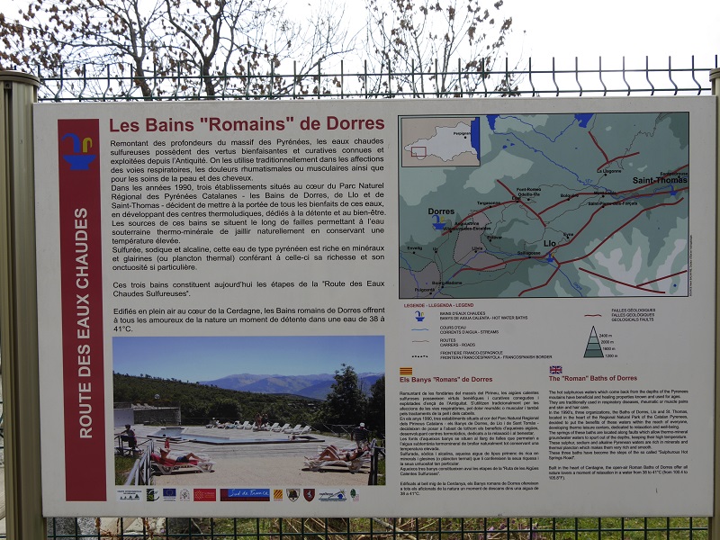
Dorres Roman SPA Baths (Les Bains de Dorres), Cerdanya plateau, Pyrenees, France

Dorres Roman SPA Baths (Les Bains de Dorres), Cerdanya plateau, Pyrenees, France
The Dorres Roman baths (Les Bains de Dorres) are located on the site of a hot spring (40 ° Celsius), which flows from the foot of the Dorres village. The picturesque village is located in the French Pyrenees at an altitude of 1450 m, on the Cerdanya plateau. This is a historic area in the Pyrenees on the border of Spain and France. In addition to alpine skiing, Cerdanya is interesting for its history, ancient small towns, landscapes and historical and geographical casus in the form of a Spanish enclave on French territory.
The plateau borders the Puigmal ridge (2,910 m high) in the south, and in the north with the Carlit ridge (2,921 m high). To the East of Cerdanya, through a valley called Tet (Têt) it borders the Mediterranean Sea. In the west – through the Segre Valley (Sègre), the plateau borders the Spanish city of La Seu D’Urgell and Andorra.
Cerdanya has a special microclimate – it experiences many sunny days at any time of the year and especially dry air. Therefore, patients with asthma, people suffering from respiratory diseases, as well as those who wish to undergo heliotherapy and who are shown treatment with thermal waters come here for rehabilitation.
The existence of baths has been proven since Roman times, as evidenced by the ancient ruins near the source. The village of Dorres is also known for the development of granite. In 1841, the first wash bowl was cut out of granite, which was used for bathing. Previously, hot sulfur water was also used to wash sheep’s wool.
It is known that during the war of 1939-1945, French resistance troops were stationed in the village.
After the war, for a long time, the baths were freely available. Only in 1991, new granite baths and a wash basin were built, and the space was fenced off.
Today the local municipality manages the SPA baths.
Thermal springs are rich in hydrogen sulfide and minerals. Their temperature is from 37 ° C to 40 ° C, and it does not change during the year.
Source water analysis conducted by Madame Lucette Martinaggi-Germa in her book “Dorres, Granite et Eau”, issue 2007.
Hydrogen sulfide 1.38.10-4 mol / l
Chlorine 17.50.10-4 mol / l
Sodium 16.90.10-4 mol / liter
Potassium 0,29,10-4 mol / l
Calcium 0,92,10-4 mol / l
Lithium 0.05,10-4 mol / l
Hydrogen nitrogen 1,54,10-4 mol / l
Tin 1,10,10-6 mol / l
Arsenic 5.80.10-7 mol / l
Rubidium 1.30.10-7 mol / l
Tungsten 1,90,10-7 mol / l
Kazium 5,00,10-8 mol / l
Iron 6,50,10-8 mol / l
Magnesium 6,50,10-8 mol / l
Strontium 8,60,10-8 mol / l
Chrome 5.80.10-9 mol / liter
Zinc 8.50.10-9 mol / liter
Antimony 7.80.10-10 mol / liter
Silver 2,30,10-10 mol / l
Cobalt 1,90,10-10 mol / l
Manganese 1.40.10-11 mol / liter
Scandium 8.10.10-12 mol / liter
Consumption: 5 liters / s.
Dorres Roman SPA baths – a skiers’ favorite place to come after skiing to relax and rest.
Opening hours: daily from 9:00 to 19:30.
From mid-November to early December, the baths are closed for a maintenance to be carried out.
The price as of 01/01/2018 is € 5.
Here you can have a wellness massage (Californian massage, shiatsu and Korean relaxing massage) outdoors – in the sundial.
What to do in the area
The Roman baths of Dorres and the baths of Llo (30 minutes by D618, D30, N116, D33) are a great addition for hiking lovers, mountain bike lovers and cyclists: here you can find a huge selection of routes.
The mountain lakes in the Carlit massif is a great place for fishing.

четверг, 22 ноября 2018 г.

Miglos castle (Château de Miglos) in French Ariege became one of the strongholds of the Roman Church during the war with the Cathars

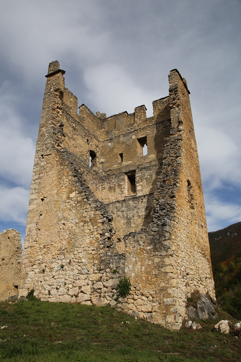
On a hill 750 meters high, inaccessible from all sides except the south towards the village of Arkizat, there are the impressive ruins of the medieval castle of Château de Miglos guarding the valley of Vicdessos (vallée de Vicdessos) and protecting access to the valley of Miglos.
Today Vicdessos is a small village with 620 inhabitants that lies between 600 and 1500 meters and covers almost 600 hectares in the Regional Natural Park of the Pyrenees.
The first mention of the castle was made in 1159. Later, the castle, which belonged to the family of Miglos, became one of the strongholds of the Roman Church during the war with the Cathars. The main function of the castle is to protect the neighborhood of Foix (together with le château de Montréal de Sos, Olbier). Among the “allies” of the castle of Miglos on the side of Tarascon were also the Castles Quie and Genat (les châteaux de Quié et Génat).
For some reason (perhaps due to belonging to the Qatari heresy), the Miglos family lost the castle to the Ussons’ family. Then the castle changed ownership several times over several centuries. It belonged consistently to the families of Rabat, Arnave, Léon, Louvie, Béon, Goth, Montaut.
In 1789, Jean-Louis de Montaut became Baron Miglos.
Presumably in late August 1792, the castle was burned after the events caused by the French Revolution. The baron’s family left the castle in ruins and settled in a large house located next to the village d’Arquizat, which later became a farm.
The area on which the castle was built is about 100 meters long and 30 meters wide. The main building material of the castle, as well as all the buildings of the Middle Ages, was limestone.
Recent research, however, identified another building material – fish bones.
In 1987, “The Association of friends of the castle Miglos” was created. In 1991, the works for its restoration began. Currently, the castle is an object that is protected under the “Historical Monuments”.
Every year in September, the castle participates in the “Heritage Days”. This year there was a presentation of the film “Three-Dimensional Reconstruction of the Miglos Castle,” in which layouts, topographic surveys, ancient engravings and 3D modeling were used.