Показаны сообщения с ярлыком travel. Показать все сообщения

четверг, 29 ноября 2018 г.

Languedoc and Occitania: their history and major tourist attractions

Languedoc and Occitania: their history and major tourist attractions
Languedoc (French version – Languedoc, Occitan version – Lengadòc) is the so-called “historical” region in the south of France. The population of this region traditionally did not speak French, but Occitan. Languedoc is part of Occitania, the center of which, in turn, is the city of Toulouse. The population of Languedoc currently stands at 3.6 million.
The name Languedoc began to be used from the XIII century when, in 1271, the county of Toulouse fell under the French crown’s possession.
Until 1790, Languedoc had the official status of a province. Currently there are two regions on its territory – Languedoc-Roussillon and Midi-Pyrénées (departments Aude, Tarn, Herault, Gard, Ardèche, Lozère, Haute-Garonne, Tarn and Garonne, Haute-Loire) . Languedoc occupies an area of about 42.7 thousand square meters, however, there are disagreements regarding the exact borders of the former province.
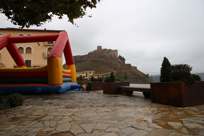
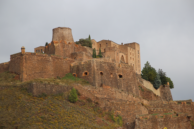
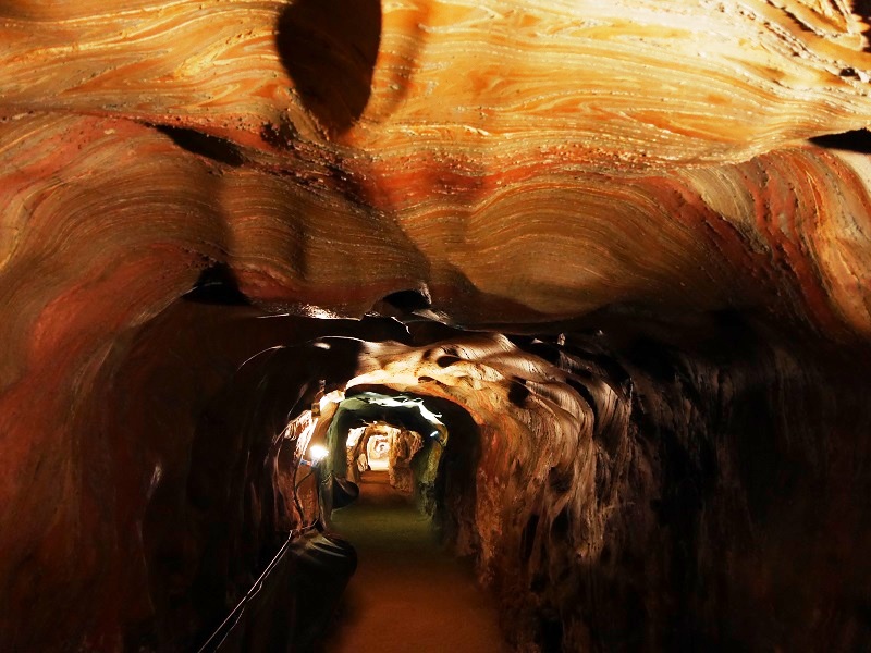
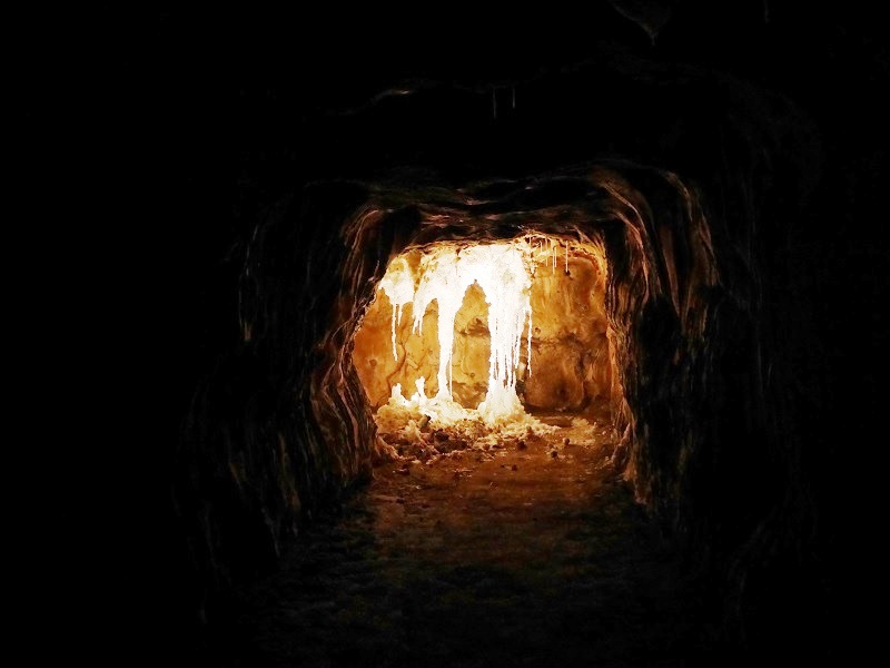
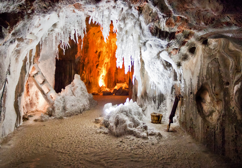
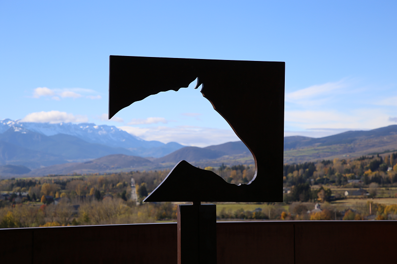
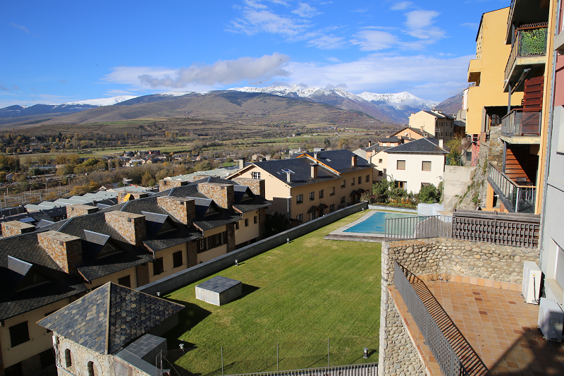
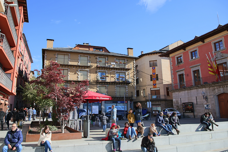
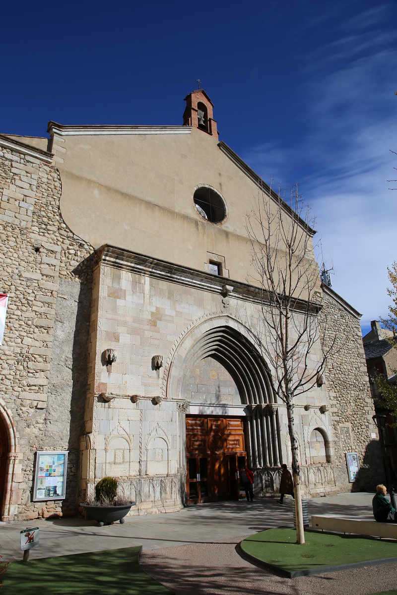
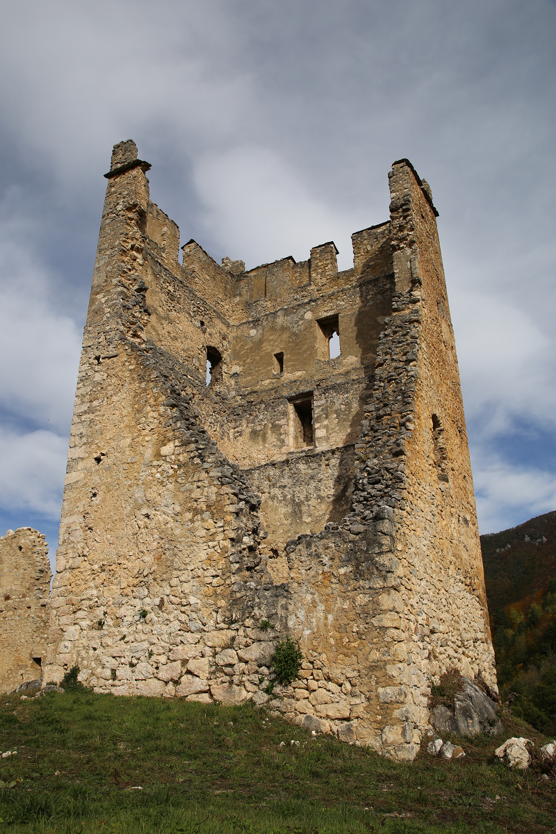
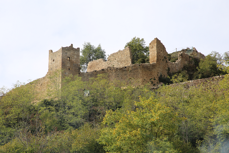
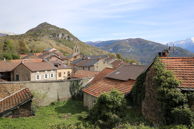
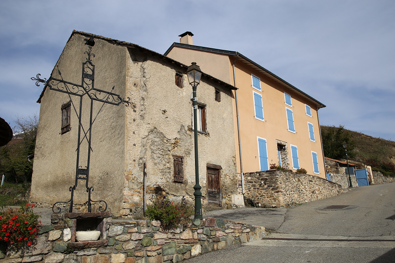
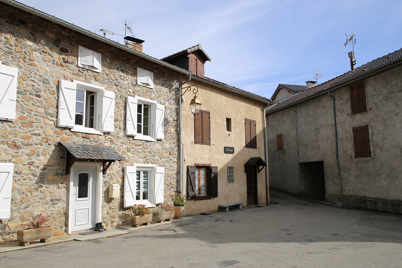
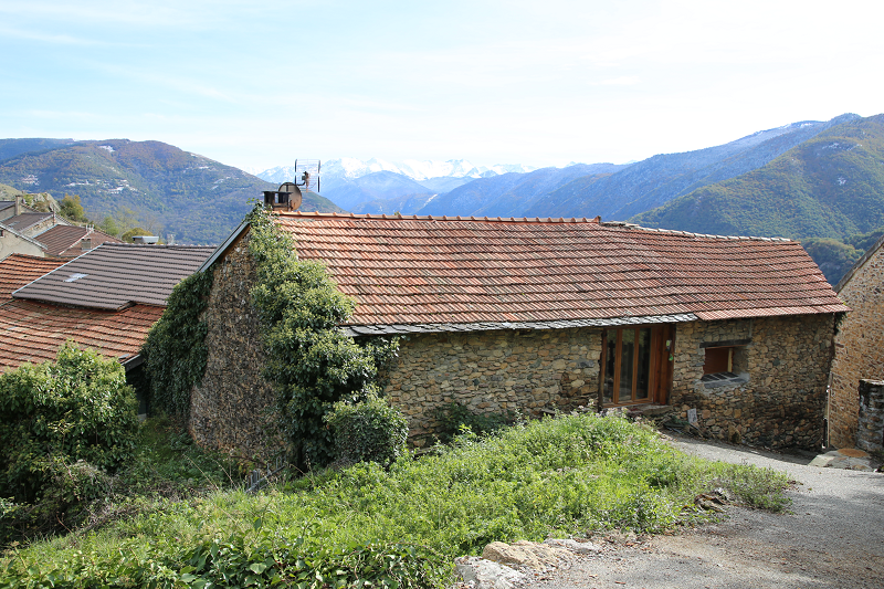
Today, Languedoc is one of the centers of tourism. It attracts tourists for its mountain peaks, green hills, ancient castles, vineyards and blue lagoons. About 800 years ago, this area was called the land of the Cathars, against which the Vatican declared a crusade. After all, the religious movement of the Cathars was the only opponent of the Catholic Church in Europe at that time.
The history of Languedoc and Occitania
The peculiarities of Languedoc include the fact that its inhabitants managed to preserve their language. In 1539, French became the official language in France. As a result, in all regions of the kingdom, local dialects began to die off. Only the people of Languedoc were able to save their language. Nowadays, about 8 million people speak Occitan. Well, tourists may notice that in Toulouse street names are written in French and Occitan. Therefore, Languedoc is often called the “other” France. After all, the locals consider themselves to be Languedoc, not French.
In these regions, a fairly powerful county of Toulouse existed in the past, which controlled all trade routes in the south of France. The highest flowering of the county fell on the XII century. Interestingly, the inhabitants of the county enjoyed great freedom. In addition, there were many free cities. The capital of the county was a city of Toulouse.
The locals quickly accepted the Cathar religion, which did not frighten them with prospects of going to hell. In addition, the Cathars did not recognize indulgences. They also treated people for free. Therefore, against the background of the heavily wealthy Catholic priests, they looked righteous.
The massive transition of locals to the Cathar religion led to the fact that in 1209 a crusade against Toulouse county was declared. It should be noted that the county repelled the attacks of the Crusaders for as long as 20 years. But in 1229, France seized part of the lands of the county. And in 1271 all the lands of the county were annexed to France. As a result, the county became the French province of Languedoc.
Former Occitania has an original intellectual climate, due to the proximity of Arabic Spain and the movement of the Cathars (Albigensians). It was here that troubadours were born and real knights lived. The Cathars (they are Albigensians) appeared at the beginning of the XI century. They believed that the materialism that conquered the Catholic Church should not flourish. They preached abstinence and asceticism, and were the forerunners of Protestantism. Then, in the XVI-XVII centuries, the Huguenots appeared not somewhere, but again here, in the kingdom of Navarre. In both cases, the heresies enjoyed the support of local authorities, and so Paris and the Vatican reacted harshly.
At the beginning of the XIII century, the Albigensians declared a crusade, conducted with all possible cruelty. Of course, it was not their ideology that was the cause, but the desire to profit from the wealth of the southern lands. The south was well fed, the yard prosperous, and the Albigensians were just an excuse as was the case for King Philip II. Pope Innocent III tried to negotiate with the Cathars, and was sent there as the main negotiator of those times – the Spaniard Guzman. But he could not do anything as Toulouse just laughed at him. Earl Raymond refused to take any measures against the Cathars, as he himself was almost a catarrh. Languedoc just did not want to talk to the Vatican. In 1208, the papal legate was killed in Toulouse, and this caused a crusade.
During the heyday of the county, almost all French musicians and poets lived here. After all, the French kingdom in those years experienced severe economic difficulties. Therefore, in the XII century, Toulouse became the intellectual and creative center of Europe. It regularly held poetry tournaments.
The army of Simon de Montfort passed through Occitania with fire and sword. The war lasted for more than thirty years, and the Cathars eventually fell. An indicative moment is that after the defeat of the Cathars in the middle of the 13th century, the surviving heretics moved into the Templar Order, which, in turn, was also defeated by the French king at the beginning of the 14th century. Isolated communities of the Cathars continued to exist for almost 100 years, but they lost their influence. The last known Qatar to the world was burned in 1321. The Huguenot movement also relied on the south.
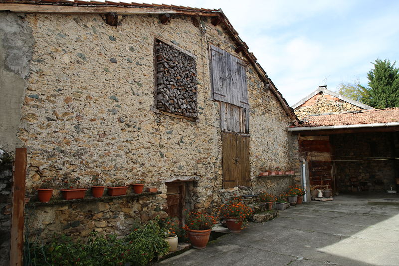
In the XVI-XVIII centuries, many communes lived here independently and following their own laws. But they failed to resist the power of the absolutism of Louis XIV. This was the second global subordination of the south to the north and the final formation of a united France. Occitania remained only in the legends. Now Occitania under the name of the region of the South – the Pyrenees and Languedoc-Roussillon – is developing quite dynamically, relying on high-tech production. In many of its corners, however, typical medieval coziness and ecological cleanliness have been preserved.
Tourism in the Languedoc and what to see
This is a region of intellectual and rather individual tourism. It is recommended for people who love rustic tranquility, visiting castles and walking in the mountains.

Cardona

Cardona (cat. Cardona) is a city and municipality in Spain, included in the province of Barcelona as part of the autonomous community of Catalonia. The municipality is part of the Bajes district. It covers an area of 66.70 km². It had a population of 5182 people in 2010.
Cardona is located in the valley of Salina. Salina Valley (La Vall Salina) is a place where natural salt layers have formed over several million years. The mountain range has the shape of an elongated ellipse. The massif borders the Cardener River in the east, the Tresserres mountain range (Tresserres) in the south, Gran Bofia (la Bòfia Gran) in the west and the Sierra (the city itself and Cardona Castle) in the north. In total, the valley area encompasses 100 hectares. The whole territory is included in the State Plan of Natural Interests of Catalonia (el Pla d’Espais d’Interès Natural de Catalunya).
Mining has long been a crucial part of the location of the city and the castle of Cardona. The exploitation of salt deposits and the establishment of the viscountcy Osona (vescomtal d’Osona) in the castle led to the fact that Cardona Castle and the city created a powerful jurisdiction in the Cardenar River region between the 12th and 14th centuries. By the 15th century, the power of Cardona extended over a vast territory about 60 km long and about 50 km wide. Read more about the history of the region here.
Tourism and attractions in Cardona
Today Cardona with a population of 5,000 is one of the tourist centers of Catalonia. Every year more than half a million tourists visit the city, mainly from Spain and France.
Among the main attractions is the Castle of Cardona (El Castell i la Colo • legiata de Sant Vicenç).
Since ancient times, man has sought places on high ground to build fortresses that would allow him to control a territory. In Cardona, the geographical location of the castle corresponds to the need to protect access to the salt deposit and control over the valley of the Cardener River.
Built on top of a mountain to control the land around the Cardener River Basin, Cardona Castle was from the 11th to the 15th century the main residence of the Lords of Cardona. The castle complex is divided in half between the majestic pavilions and the canonical Romanesque chapel of Sant Vicenç. The architectural complex includes the Tower of Minion (Torre de la Minyona), the Ducal Palace (Pati Ducal), and numerous defensive bastions.
Cardona Castle is an excellent example of military fortification, which shows the evolution of military art from the Middle Ages to the modern era. The castle was home to one of the country’s most important noble families, and protecting the exploitation of salt mines meant that its fortification was impregnable. The power of the castle as a military fortification is proved by the fact that the castle was taken only once during the war for the succession of the Spanish king, Felipe 5 (1711-1714).
The chapel of Sant Vicenç is original, dating from the 11th century, and was consecrated between about 1029 and 1040. This is a magnificent example of Romanesque architecture which has a three-nave basilica plan. In the chapel there are also several tombs and pantheons belonging, in particular, to Duke Ferran I and Count Joan Ramon Folt I.
Currently, the castle is a four-star hotel, restaurant and cafe with a great view over the valley.
The castle is open to the public; however, guided tours are possible only on Saturdays and Sundays (tel. 93 869 24 75).
Among the museums of Cardona is the medieval center (Center Cardona Medieval) – another attraction of the city. Located on the Plaza de la Fira (plaça de la Fira), opposite the Cardona Town Hall, this center helps to highlight the city’s history and cultural heritage. The permanent exhibition with extensive graphic and audiovisual accompaniment explains the emergence and evolution of the city, and the construction of the fortress of Cardona, which has defended the city for over five hundred years.
A virtual tour offers a visit through the most significant historical sites, including visiting the parish church of San Miquel with its magnificent Gothic nave. The Church of Sant Miquel is an example of Catalan Gothic architecture. The church was consecrated in 1397. Inside the temple there are two side altars and crypts of holy martyrs.

Mediterranean resorts of France: Collioure – a place of inspiration for Picasso, Matisse, Dali

Mediterranean resorts of France: Collioure (fr. Collioure)
Collioure is an old fishing town in France, which has long been famous for its anchovies. It is an ideal holiday destination for tourists who are tired of the mad rhythm of excursions and a large crowd of people. The population is only about 3,000 inhabitants. The resort is located on the Mediterranean coast Vermilion (Vermilion). The cities of France, Collioure and Perpignan, are called the pearls of the French Purple (or Scarlet) coast. They are rightly recognized as the most picturesque towns of the south of France.
Collioure attracts visitors with its clean beaches, quiet coves, sunny weather and the green hills of the Pyrenees. A walk along the embankment contains beautiful views or through the picturesque narrow paved streets will allow you to fully experience the medieval atmosphere of the city. Collioure is also called the city of artists. Many artists such as Picasso, Matisse, Dali, Derain found inspiration for their work here.
Architecture, Collioure sights, what to see?
The embankment of the city is a great place to walk with small cozy restaurants and cafes alongside, souvenir shops and beautiful views. It is a favorite meeting place for the local youths.
Notre-Dame des Anges is the calling card of the city, thanks to the works of Matisse. This church became famous throughout the world. It has been preserved in excellent condition to the present day. This building, which was built in 1691, is one of the symbols of Collioure. The church is located in the sea harbor of Collioure. Initially (the end of the XVII century) it worked as a lighthouse, but later on the order of Marshal of France Vauban, this function was abolished.
The Royal Castle of the Templars is a powerful naval complex with a whole system of underground communications, which are still used by the French military today (it’s still used or not?). Now there is also a museum. Erected in the VII century, the citadel served as the city’s defense mechanism and its suburbs for many centuries, so it was constantly improved and strengthened, until the XVII century.
The “colored streets” is an area with narrow, labyrinth-like lanes and ancient stairs. The atmosphere here is always joyful and warm. Balconies are decorated with a huge number of multi-colored flowerpots, and the facades are covered with grapes and ivy.

понедельник, 26 ноября 2018 г.

Salt Mountain Salins de Cardona – one of the major natural monuments of the Pyrenees

Salt Mountain Salins de Cardona – one of the major natural monuments of the Pyrenees
Excursions to the cave last 50 minutes. The temperature inside the cave is from 17 to 20 degrees, regardless of the season. For safety, you will be offered a helmet to wear.
photo: all-andorra.com
The entrance to the cave
The mineral that can be seen here everywhere — on the ceiling, on the walls, and on the floor — is salt. It has an orange-red color. This is due to the presence of iron, which in combination with oxygen forms oxides – give the salt its color. Hence the popular name is red salt.
Seeing this salt deposit, one would like to ask: how did a whole mountain of salt appear in the central part of Catalonia? To find out the answer, we must make a trip back in time – to go back 40 million years ago. At that time there was a huge sea in the center of Catalonia. It flowed from the peninsula from the north (at present it is the Bay of Biscay), and into the lands of Aragon. It was everywhere … However, later, due to the increase in temperature, the water gradually dried up.
The formation of salt layers occurred in stages. Salt was deposited in isolated areas of the earth’s surface, where new portions of seawater periodically arrived and, where due to the dry climate and, consequently, strong evaporation, the mineral became more and more saturated. Where these parts of the surface gradually descended, due to the tectonic movements of the earth’s crust, thick deposits were formed. First, halite was formed, then sylvinite, and ultimately carnallite (potassium and magnesium chloride).
The geological characteristics of the salt deposit allowed a person to use this raw material from the Neolithic period (2500 BC) to the present day. The Iberians who invaded the peninsula, the Romans who came here during the Middle Ages, as well as the lords of Cardona, were able to enrich themselves at the expense of the deposit, becoming “the lords of salt”. The Salins de Cardona deposit, due to the quantity and quality of salt, became famous in Catalonia. In 1900, the first underground mine appeared (it was abandoned in 1934).
Since ancient times, man has been producing salt for various purposes, such as preserving. However, the situation changed dramatically after the start of the production of inorganic fertilizers. In 1923, the Spanish Union, Union Española d’Explosives, S.A. bought Salins de Cardona deposit for 3.5 million pesetas. In 1925, this company launched a new project to extract sodium and potassium chloride from salt, which meant opening a new mine with two main wells, a processing plant, and establishing logistics to the port of Barcelona.
When in September 1990, both mines were closed, a total of 37,874,843 tons of mineral had been mined from the bowels of the earth, and mining had reached a depth of 1,308.7 m, which made Cardona the deepest mine in the country. At this depth, the temperature was above 50 degrees, the salt layers were not vertical, but horizontal, which required the introduction of a new production system. Each mine had its own name: Marie Thérèse (depth 720 m) and Albert (depth 1000 m. Development period: 1929 – 1972).
Santa Barba is the patroness of the miners, pyrotechnics, demolition men – everyone who deals with underground work, including mining. The holiday of Santa Barba is celebrated on December 4th – this is a very revered date in Cardona.
Next to the statue, you can see the stairs. Once they were wooden, but over time they became covered in salt as they were slowly forgotten about. Now it looks like they were originally made from salt.
The biggest “room” is called the Sistine Chapel.

пятница, 23 ноября 2018 г.

The Catalan city of Puigcerda – famous for its horse fairs and skiing

The Catalan city of Puigcerda – famous for its horse fairs and skiing
Puigcerda (Catalan Puigcerdà) is the capital of the Catalan comarca of Cerdanya, in the province of Girona, Catalonia, northern Spain, near the Segre River and on the border with France (it borders directly the French city of Bourg-Madame).
Puigcerda is a city with a population of 9,100 people. Puigcerdà is located on the banks of the river Segre, at an altitude of 1215 metres. Translated from the Catalan “puig” means “hill”. From the hill you can see the beautiful Cerdanya valley – the largest in the Pyrenees. On its territory there is a nature park Cadí-Moixeró, where you can come across rare species of animals and birds.
The city has its own media stations: two radio stations (the state-run “Radio Puigcerda“ and private “Radio Pyrenees”), a TV channel, a newspaper, and a free monthly magazine.
History of Puigcerda
The city was founded in 1177 by the king of Spain, Alfonso. The city has been famous for its fairs since 1182, in particular, its horse fairs which are famous throughout Spain.
It is worth recalling that since the days of Napoleon in France, the division of territories was into departments in France, and in Spain – in the province. So, from 1813 Puigcerdà was one of the four provincial capitals of Catalonia (along with Barcelona, Girona and Lleida).
In 1833, Spain was divided into two warring parties. One supported don Carlos and his heirs, the Carlist party. The other stood on the side of Isabella and her mother, Mary Christina, she was called the party of Christinos. Political strife has triggered three wars, called the Carlist wars.
These wars had a significant impact on the development of Puigcerdà. The city ceased to be the capital (Tarragona became the fourth capital), but this did not prevent it from developing dynamically – mainly due to agriculture, and later, from the beginning of the XX century, due to tourism.
Tourism and what to do
Tourism in Puigcerdà forms the main income of the budget, which currently stands at 13.5 million euros.
Lovers of active leisure and tourism in the mountains are main tourists. After the Spanish Civil war (1936-1939) the first ski resorts appeared here. The closest are La Molina and Masella, there are also ski resorts from France-Pyrénées 2000, Les Angles, etc.
A distinctive feature of the ski resorts of the Cerdanya plateau (Baixa Cerdanya – Spain, Alta Cerdanya – France) is the meteorological conditions. There is often good sunny weather and a lot of snow. It is also important that the ski slopes are on the sunny side of the Pyrenees. Here you can engage in all winter sports: Alpine and cross-country skiing (in the mountains), hockey, curling, figure skating (in a sports complex located in the city, which also has a large stadium, climatic pool, football pitch and tennis court).
The sports complex belongs to the city. The price for a subscription and a single visit is the cheapest in Catalonia.
In summer, mountain sports are also available in the region (mountaineering, climbing, hiking of different levels of difficulty, mountain and road biking).
There are also three Golf clubs near the town.

Cities of Catalonia: “Good luck city” as mark of the best European rafting city Sort (Lleida Province)

Cities of Catalonia: “Good luck city” as mark of the best European rafting city Sort (Lleida Province)
Sort is the capital of the provinces Pallars Sobirà, Lleida, Catalonia, Spain. The city is located at an altitude of 692 m above sea level, near the Noguera Pallaresa River, a tributary of the Segre River.
Population: 2.113 (in 2005). Population density: 20.4 / km²
Area: 105.13 km²
The name “Sort” in Catalan means “good luck”. The lottery ticket shop “La Bruixa d’Or” (“Golden Witch”) is the most famous in Catalonia. They say that this shop sells a lot of winning tickets – according to statistics, those who buy tickets from this shop are more likely to win.
The administrative division of Sort includes the traditional district of Sort, as well as the settlements of Llessui and Enviny that were joined in 1970. In 1976, Altron was also attached to the municipality. The territory of the municipality extends along the shores of the Sort, Barran de Montardit valley (Mall del Barranc de Montardi), Barranc de Santa Anna valley (vall del Barranc de Santa Anna) and almost all of the Val d’Asua valley (Vall d’Àssua).
In the north, the land is bordered by the municipality of Espot, in the north-east by Rialp, in the south by Soriguera, and in the west by Baix Pallars and Torre de Capdella.
Architectural sights and what to see
Sant Feliu de Sort is the parish church of the city, in the old municipal district, the Pallars district of Sobir. It is located in the city center, in the Plaza Mayor, opposite the C13 national highway. This monument of Romanesque architecture belongs to the objects of cultural significance and is protected by the state.
The church has three naves and a rectangular “back” facing the west. Tts facade is located at the foot of the nave. In the north-eastern part of the tower stands a powerful bell tower.
Sant Esteve de Castellviny – a parish church, is also included on the list of Spain’s architectural heritage sights. The church was built in a strictly Romanesque style. It is located in the suburbs of Sort.
The ancient fortress of the Counts of Pallars was presumably built in the 11th century. In the Middle Ages, the fortress served as a defense mechanism. In the era of civil wars in Spain, there were prisons in the citadel. Only in 2007, the local municipality opened a museum in this area. Museum expositions are devoted to the Catalan wars, including the era of the Second World War.

Dorres Roman SPA Baths (Les Bains de Dorres), Cerdanya plateau, Pyrenees, France

Dorres Roman SPA Baths (Les Bains de Dorres), Cerdanya plateau, Pyrenees, France
The Dorres Roman baths (Les Bains de Dorres) are located on the site of a hot spring (40 ° Celsius), which flows from the foot of the Dorres village. The picturesque village is located in the French Pyrenees at an altitude of 1450 m, on the Cerdanya plateau. This is a historic area in the Pyrenees on the border of Spain and France. In addition to alpine skiing, Cerdanya is interesting for its history, ancient small towns, landscapes and historical and geographical casus in the form of a Spanish enclave on French territory.
The plateau borders the Puigmal ridge (2,910 m high) in the south, and in the north with the Carlit ridge (2,921 m high). To the East of Cerdanya, through a valley called Tet (Têt) it borders the Mediterranean Sea. In the west – through the Segre Valley (Sègre), the plateau borders the Spanish city of La Seu D’Urgell and Andorra.
Cerdanya has a special microclimate – it experiences many sunny days at any time of the year and especially dry air. Therefore, patients with asthma, people suffering from respiratory diseases, as well as those who wish to undergo heliotherapy and who are shown treatment with thermal waters come here for rehabilitation.
The existence of baths has been proven since Roman times, as evidenced by the ancient ruins near the source. The village of Dorres is also known for the development of granite. In 1841, the first wash bowl was cut out of granite, which was used for bathing. Previously, hot sulfur water was also used to wash sheep’s wool.
It is known that during the war of 1939-1945, French resistance troops were stationed in the village.
After the war, for a long time, the baths were freely available. Only in 1991, new granite baths and a wash basin were built, and the space was fenced off.
Today the local municipality manages the SPA baths.
Thermal springs are rich in hydrogen sulfide and minerals. Their temperature is from 37 ° C to 40 ° C, and it does not change during the year.
Source water analysis conducted by Madame Lucette Martinaggi-Germa in her book “Dorres, Granite et Eau”, issue 2007.
Hydrogen sulfide 1.38.10-4 mol / l
Chlorine 17.50.10-4 mol / l
Sodium 16.90.10-4 mol / liter
Potassium 0,29,10-4 mol / l
Calcium 0,92,10-4 mol / l
Lithium 0.05,10-4 mol / l
Hydrogen nitrogen 1,54,10-4 mol / l
Tin 1,10,10-6 mol / l
Arsenic 5.80.10-7 mol / l
Rubidium 1.30.10-7 mol / l
Tungsten 1,90,10-7 mol / l
Kazium 5,00,10-8 mol / l
Iron 6,50,10-8 mol / l
Magnesium 6,50,10-8 mol / l
Strontium 8,60,10-8 mol / l
Chrome 5.80.10-9 mol / liter
Zinc 8.50.10-9 mol / liter
Antimony 7.80.10-10 mol / liter
Silver 2,30,10-10 mol / l
Cobalt 1,90,10-10 mol / l
Manganese 1.40.10-11 mol / liter
Scandium 8.10.10-12 mol / liter
Consumption: 5 liters / s.
Dorres Roman SPA baths – a skiers’ favorite place to come after skiing to relax and rest.
Opening hours: daily from 9:00 to 19:30.
From mid-November to early December, the baths are closed for a maintenance to be carried out.
The price as of 01/01/2018 is € 5.
Here you can have a wellness massage (Californian massage, shiatsu and Korean relaxing massage) outdoors – in the sundial.
What to do in the area
The Roman baths of Dorres and the baths of Llo (30 minutes by D618, D30, N116, D33) are a great addition for hiking lovers, mountain bike lovers and cyclists: here you can find a huge selection of routes.
The mountain lakes in the Carlit massif is a great place for fishing.

четверг, 22 ноября 2018 г.

Miglos castle (Château de Miglos) in French Ariege became one of the strongholds of the Roman Church during the war with the Cathars

On a hill 750 meters high, inaccessible from all sides except the south towards the village of Arkizat, there are the impressive ruins of the medieval castle of Château de Miglos guarding the valley of Vicdessos (vallée de Vicdessos) and protecting access to the valley of Miglos.
Today Vicdessos is a small village with 620 inhabitants that lies between 600 and 1500 meters and covers almost 600 hectares in the Regional Natural Park of the Pyrenees.
The first mention of the castle was made in 1159. Later, the castle, which belonged to the family of Miglos, became one of the strongholds of the Roman Church during the war with the Cathars. The main function of the castle is to protect the neighborhood of Foix (together with le château de Montréal de Sos, Olbier). Among the “allies” of the castle of Miglos on the side of Tarascon were also the Castles Quie and Genat (les châteaux de Quié et Génat).
For some reason (perhaps due to belonging to the Qatari heresy), the Miglos family lost the castle to the Ussons’ family. Then the castle changed ownership several times over several centuries. It belonged consistently to the families of Rabat, Arnave, Léon, Louvie, Béon, Goth, Montaut.
In 1789, Jean-Louis de Montaut became Baron Miglos.
Presumably in late August 1792, the castle was burned after the events caused by the French Revolution. The baron’s family left the castle in ruins and settled in a large house located next to the village d’Arquizat, which later became a farm.
The area on which the castle was built is about 100 meters long and 30 meters wide. The main building material of the castle, as well as all the buildings of the Middle Ages, was limestone.
Recent research, however, identified another building material – fish bones.
In 1987, “The Association of friends of the castle Miglos” was created. In 1991, the works for its restoration began. Currently, the castle is an object that is protected under the “Historical Monuments”.
Every year in September, the castle participates in the “Heritage Days”. This year there was a presentation of the film “Three-Dimensional Reconstruction of the Miglos Castle,” in which layouts, topographic surveys, ancient engravings and 3D modeling were used.

The castle of Lordat (le château de Lordat) is one of the oldest and largest feudal castles in the county of Foix

The castle of Lordat (le château de Lordat), located in the municipality of Lordat (Ariège department) is one of the oldest and largest feudal castles in the county of Foix. This is a classic example of Pyrenean medieval military architecture.
At the foot of the castle lies the village of Lordat (altitude about 900 m above sea level) – it borders the canton (administrative-territorial unit in the district, covering several communes) Les Cabannes.
The number of inhabitants of the village in 2017 was 45 people. There are 17 residential houses, 28 residences and the complete absence of abandoned or empty houses in the village.
The castle is one of the most interesting places in Ariège due to its strategic location and width of the walls. The northern wall is a continuation of the cliff, at a height of 50 m. The walls of the main four-story tower are the thickest compared to the other walls of the castle.
The construction of the castle probably dates from the 9th-10th centuries. The first mention of the castle was made in 1034 – when Bernard, Count of Carcassonne, presented it to his son Roger, the first Count of Foix. Initially, the county of Foix was a senoria (a collection of land plots with land ownership, collection of duties, and tax payments) in the county of Carcassonne.
Roger died childless around 1064, after which the castle passed to the third of his brother’s sons, Bernard I Roger, Pierre Bernard.
It is known that in 1244 the castle was captured by the Cathars during the Crusade. At the end of the XIII century, the castle passed into the hands of the King of Aragon, who demanded its destruction. The castle fell into ruins, but the entrance, protected by a tower, retained its original appearance.
On September 8, 1923, the castle was included in the list of historical monuments of France.
After a long renovation, on June 4, 2016, the castle was opened to the public.